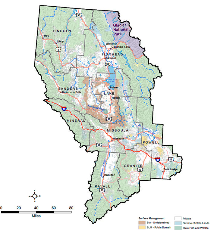
The Missoula Bureau of Land Management (BLM) is currently in the process of revising their 30-year-old Resource Management Plan; at stake are the overarching guidelines to management 156,000 public acres and 122,000 acres of sub-surface mineral rights in the region. From their project page –
The Missoula Bureau of Land Management (BLM) is revising its 30-year-old Resource Management Plan (RMP) to provide goals, objectives, and management direction for approximately 156,000 acres of surface BLM-managed lands and approximately 122,000 acres of sub-surface BLM-managed minerals in western Montana.
The RMP will focus on BLM-managed surface lands in Missoula, Granite, and Powell counties with additional sub-surface mineral estate in Flathead, Lake, Lincoln, Mineral, Ravalli, and Sanders counties. About 99% of the BLM-surface managed lands are within Missoula, Granite and Powell counties. See the maps section of this website for an overview of the planning area.
From the link above you can access all the documents (and there are a handful) related to the updated planning process.
Public Comment Closes 9 February
The public scoping meetings were held last fall, but the window for public comment remains open through the 9th, which falls on Thursday this week.
The TRCP has a comment page up here if you’re in a hurry and would still like to throw your two cents in. Even if you live, work and play far from Western Montana, you’ll want to fish or hunt here someday. Please take 3 minutes and demand request that the best of the public land in the area be preserved and access maintained for all.
Git ‘er done.